
3D LASER SCANNING
High-resolution 3D scanning captures precise rail corridor data, enabling accurate modelling, clash detection, and informed design decisions.
Ideal for corridor mapping, inspection, documentation and visualisation.
Digital Deliverables
Outputs in DWG, SHX, PDF, XML, and Excel formats, including geo-referenced aerial imagery and drive-through videos.
High-Resolution Drone Imagery
Aerial capture for corridor mapping, inspection, and visualization.
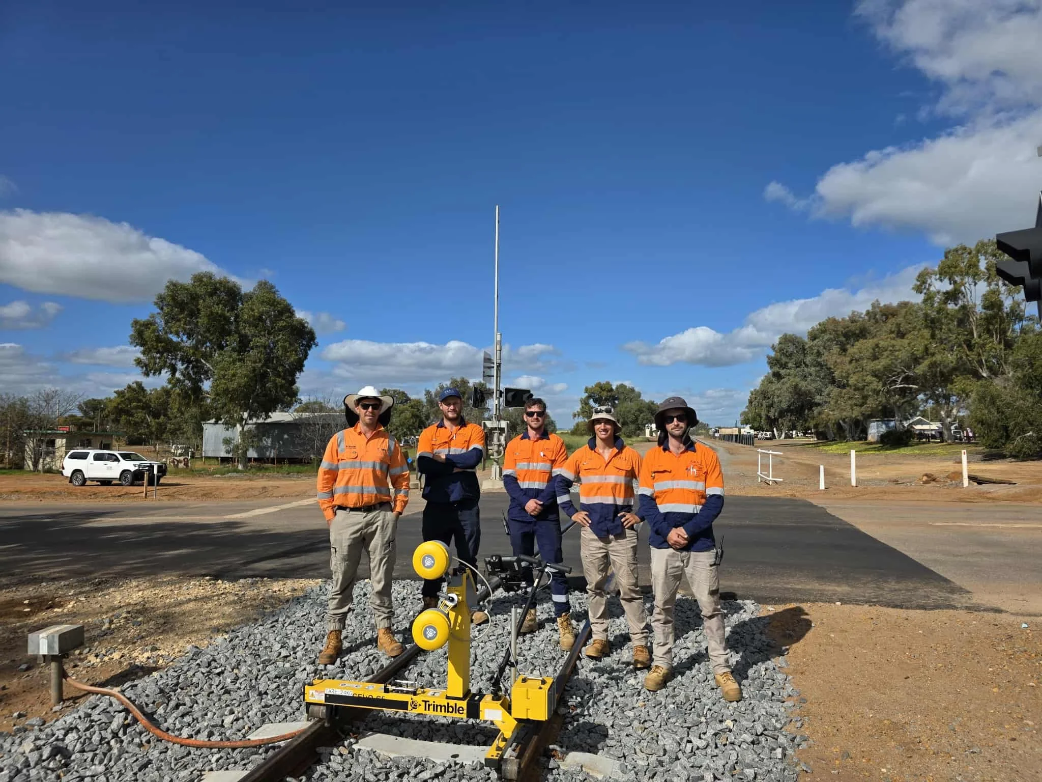
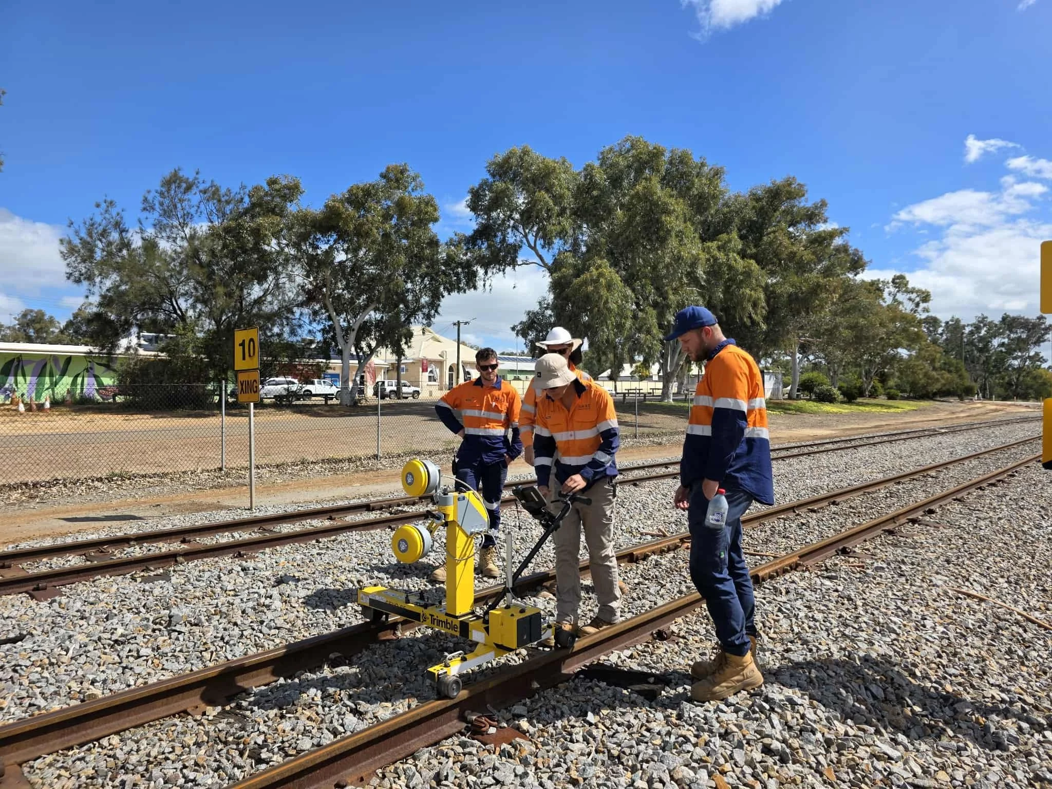
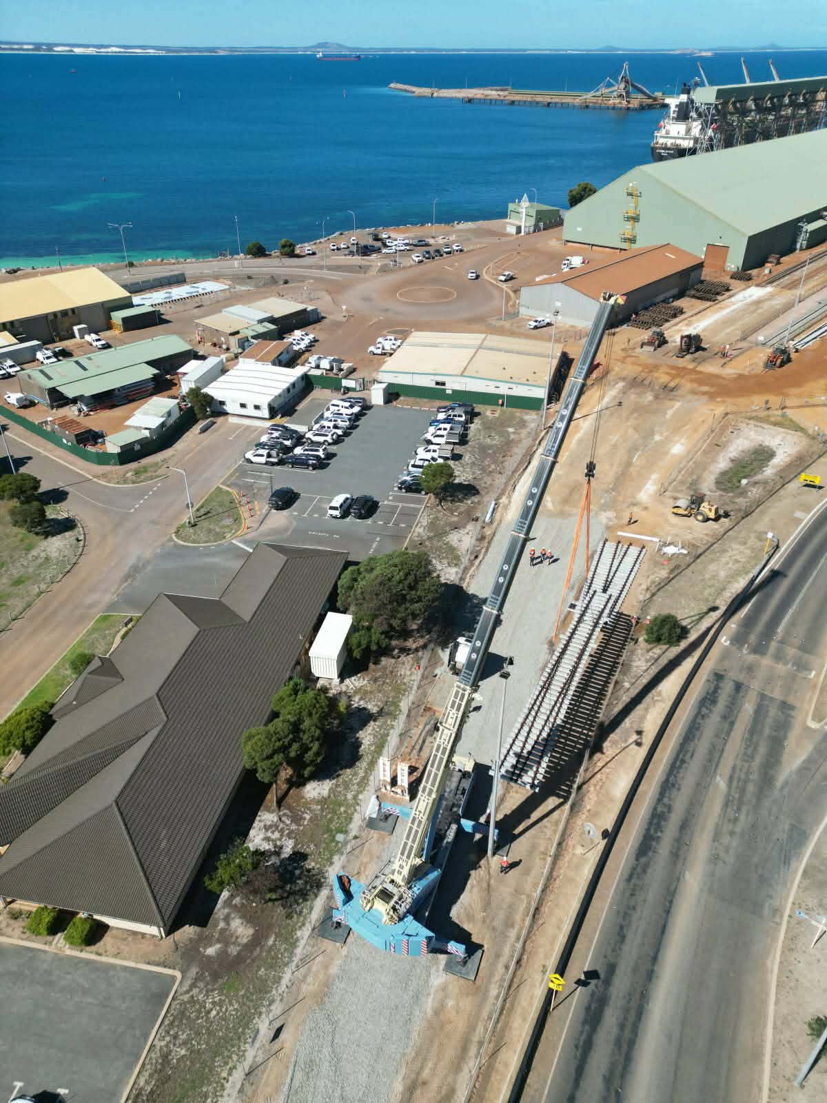
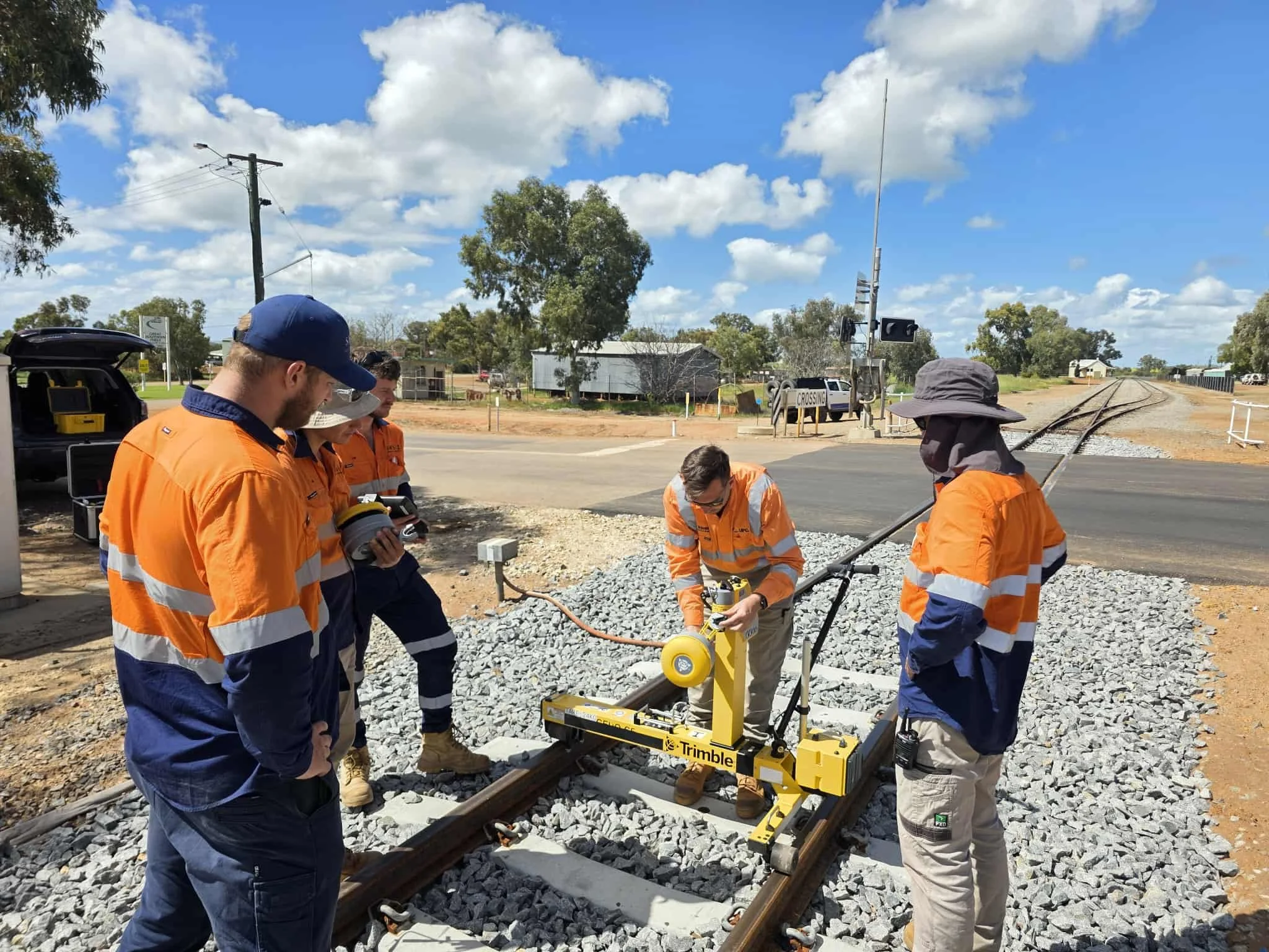
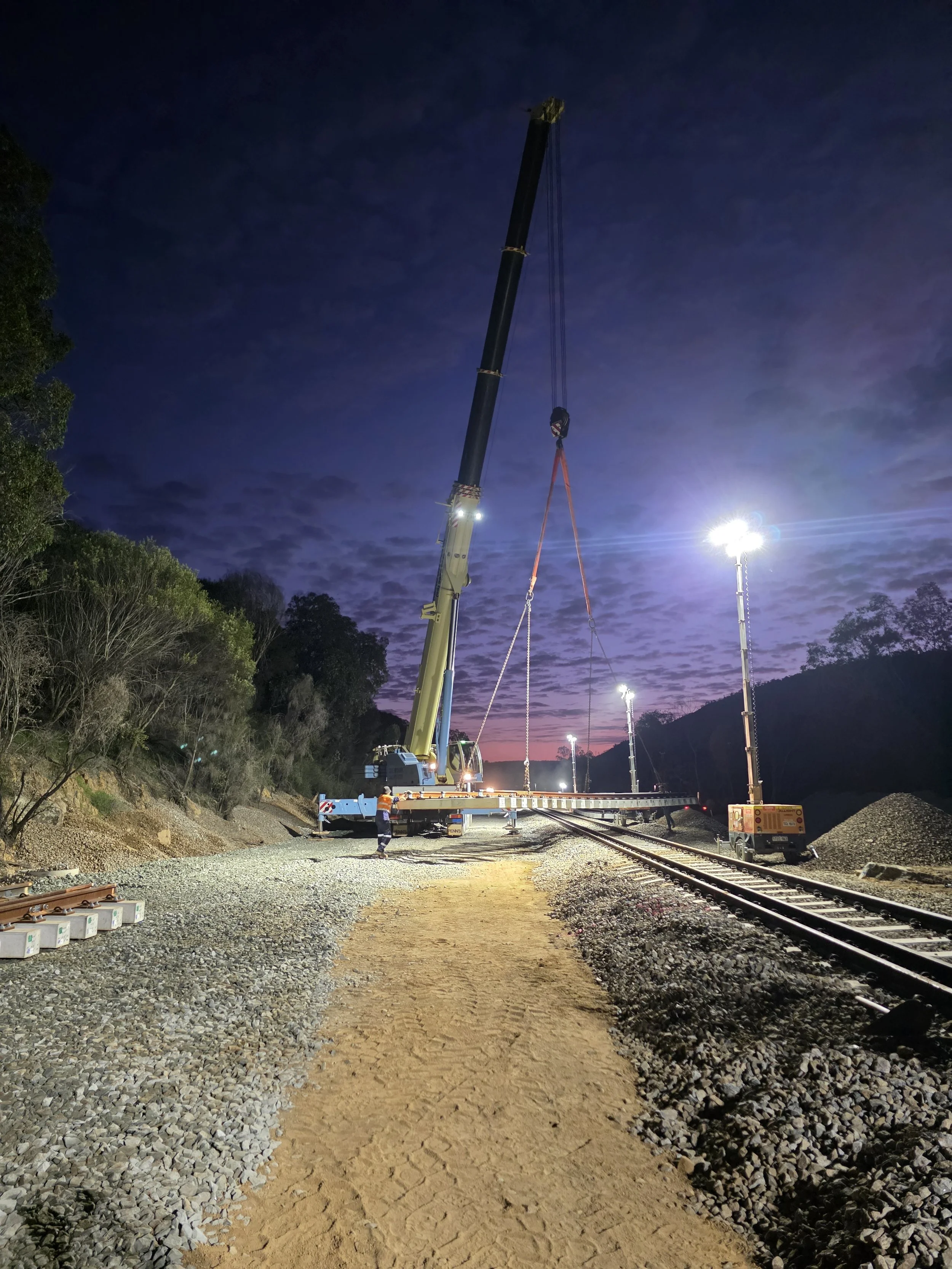
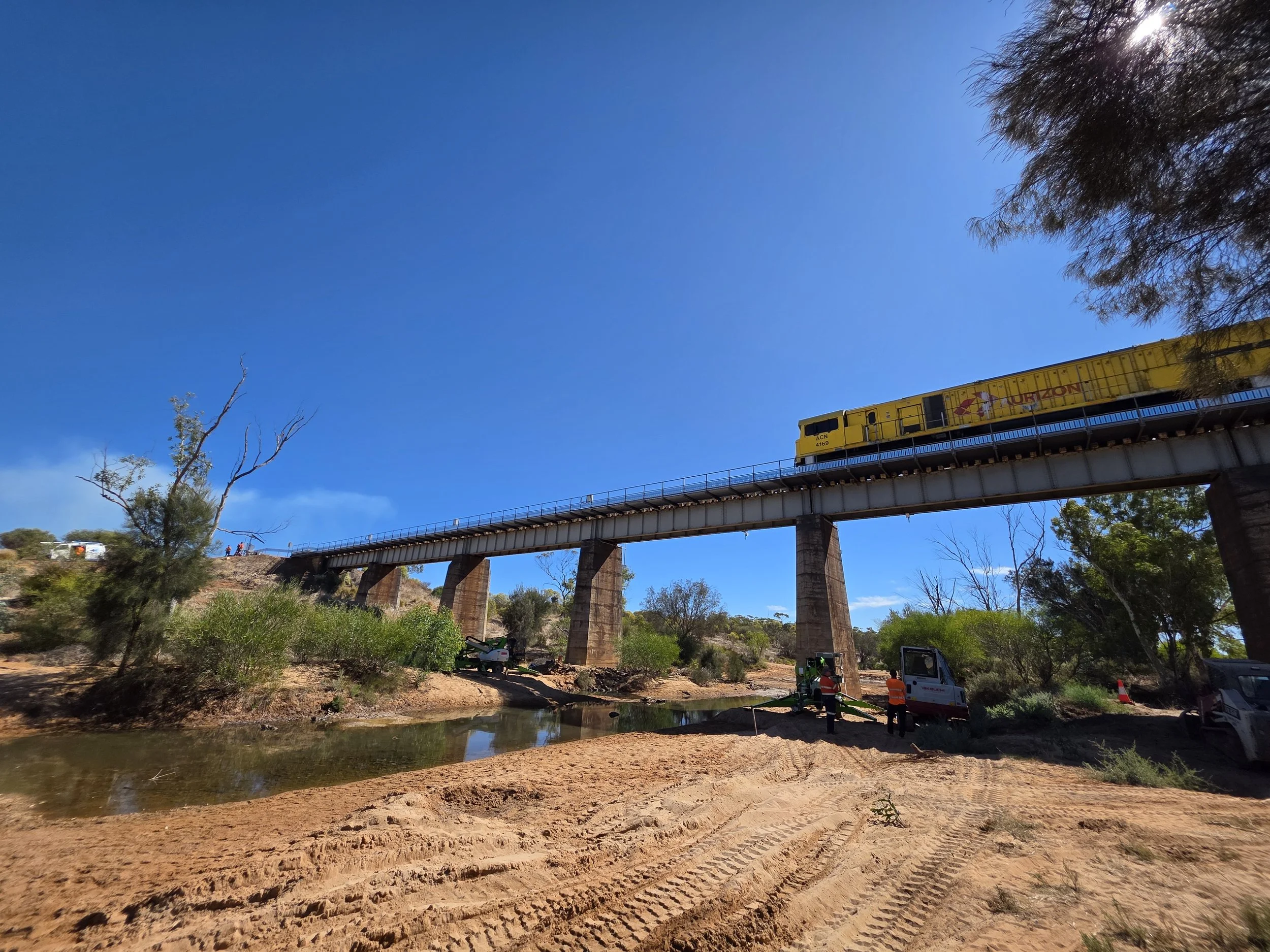
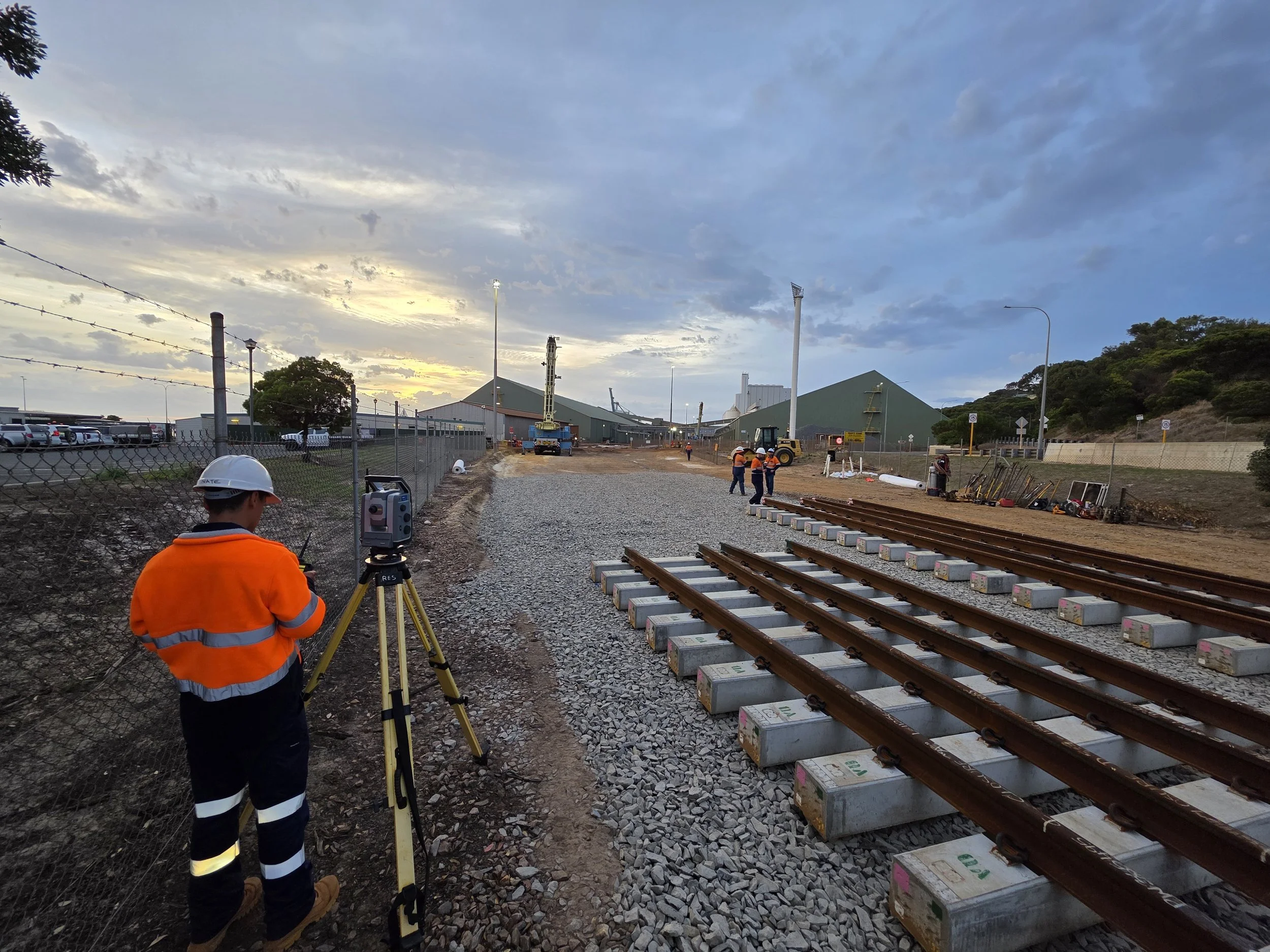
Check out some of our latest projects.

GET IN TOUCH
Get In Touch
Ready to partner with a trusted specialist in rail surveying?
Sanders Rail Surveying (SRS) is a Western Australian company delivering high-precision, end-to-end surveying solutions for rail infrastructure projects, from design and construction through to completion. We combine technical excellence, advanced technology, and industry expertise to deliver accuracy you can rely on.
📞 +61 407 966 313
📧 admin@sandersrailsurveying.com