
CAPABILITY STATEMENT
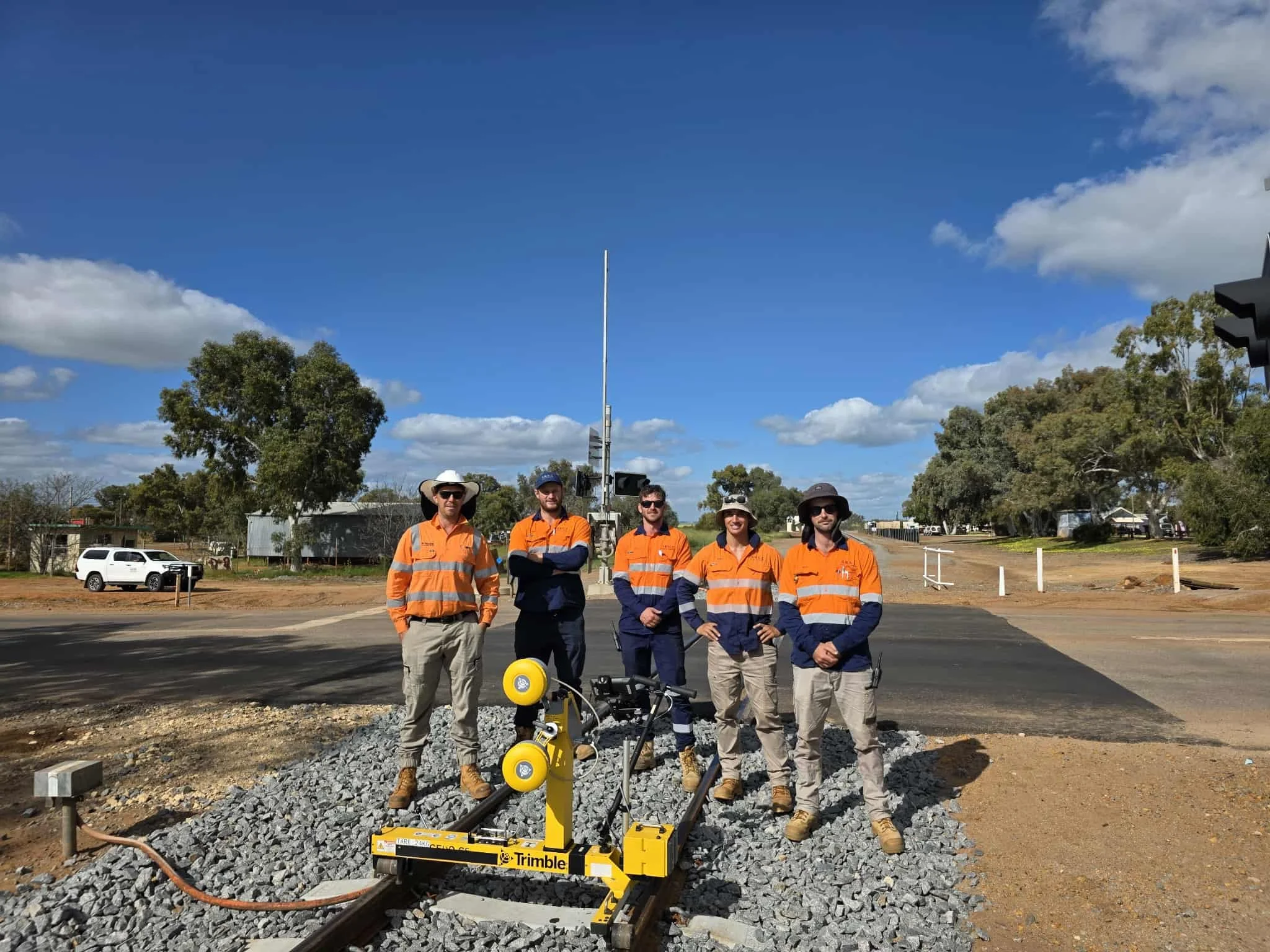
Sanders Rail Surveying delivers specialist expertise in rail infrastructure surveying, track geometry capture, spatial mapping and digital engineering, supported by advanced technology and proven performance across major rail projects in Western Australia.
We recognise the importance of accuracy, efficiency and timely delivery in the rail industry. Our core values centre on providing reliable, precise and expert surveying services. With a focus on continuous improvement, we leverage leading spatial technology to deliver high-quality, cost-effective solutions.
Whether your project requires detailed track geometry, corridor mapping, construction support or digital deliverables, Sanders Rail Surveying has the capability and experience to support even the most complex rail and infrastructure requirements.
OUR CAPABILITIES
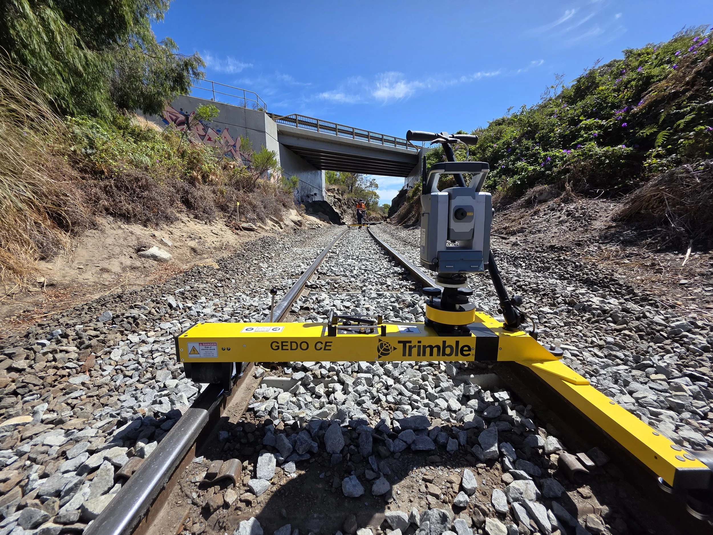
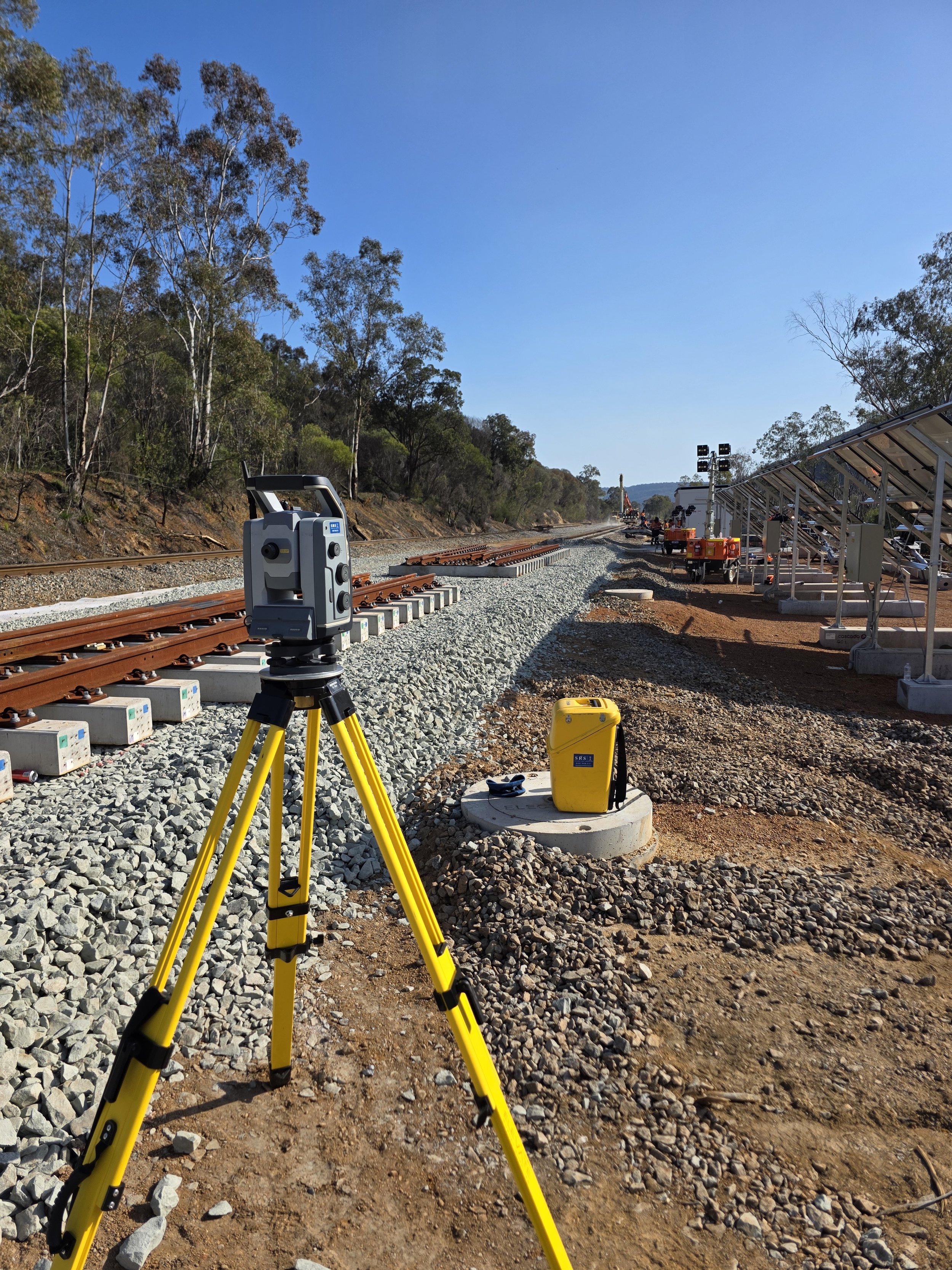
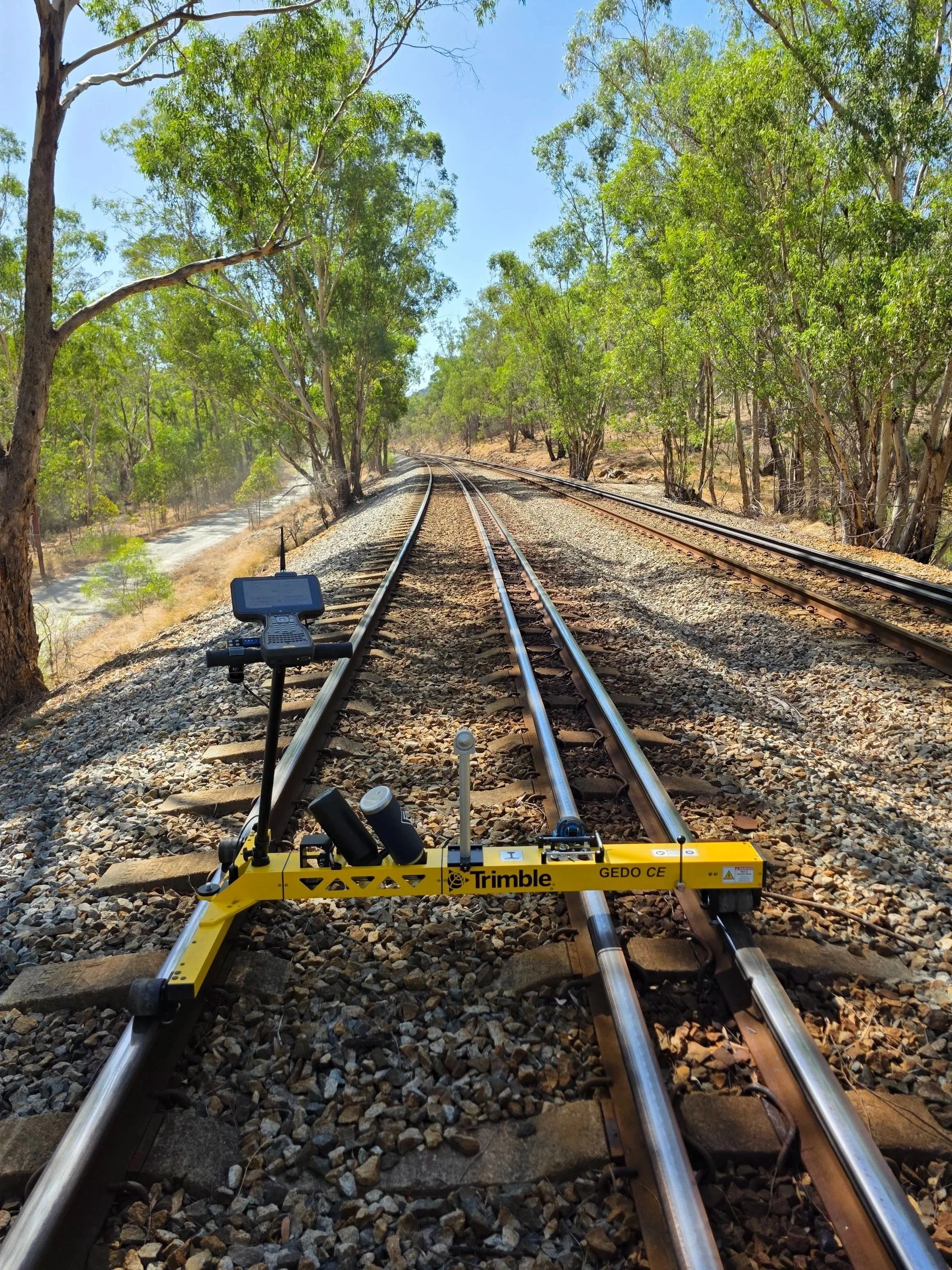
Capturing precise data on rail corridors, track geometry and clearances to ensure safe, efficient rail operations.
Rail Infrastructure Surveying
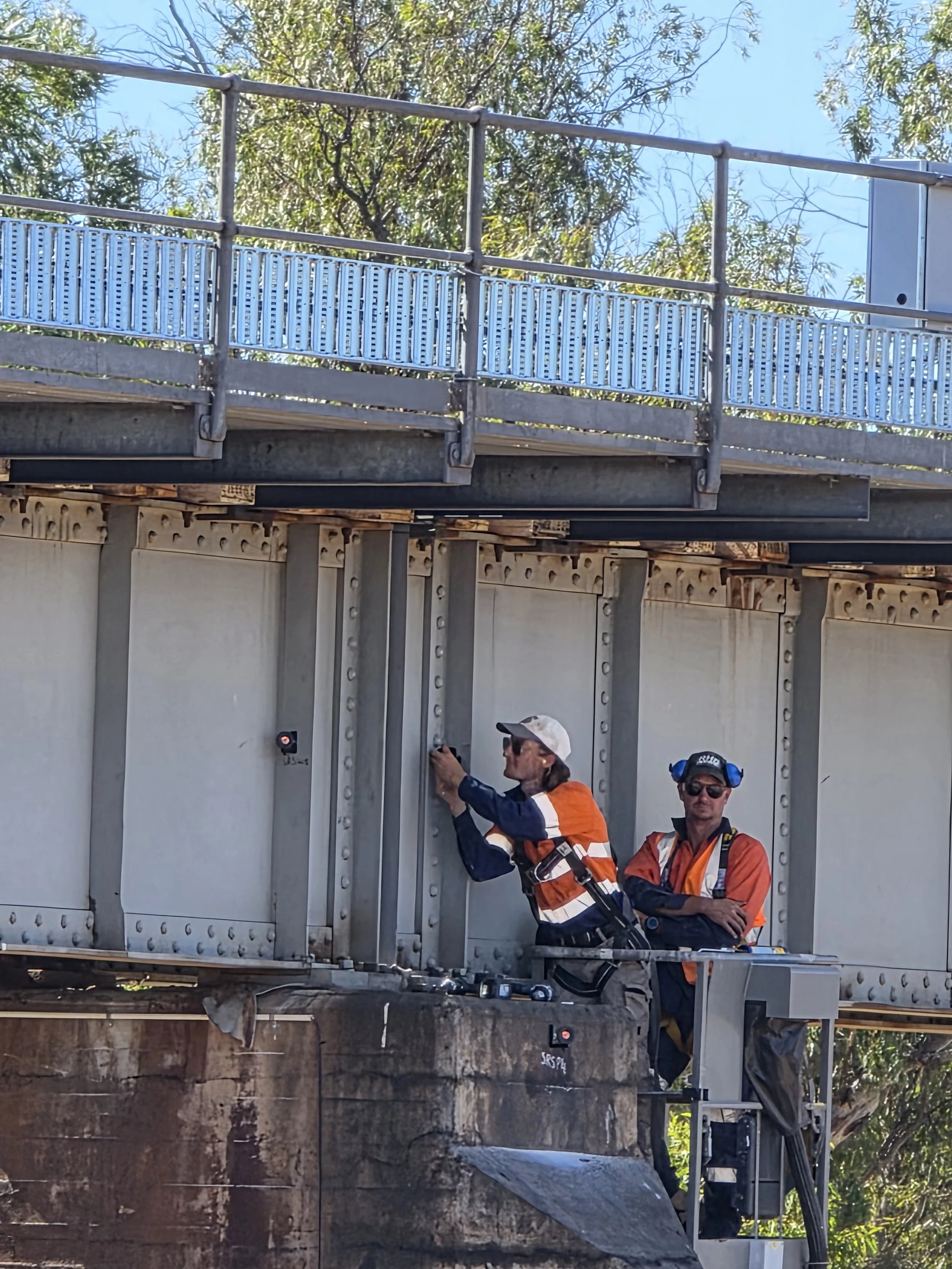
Detection and analysis of movement in critical railway assets to support maintenance and safety planning.
Monitoring & Asset Integrity
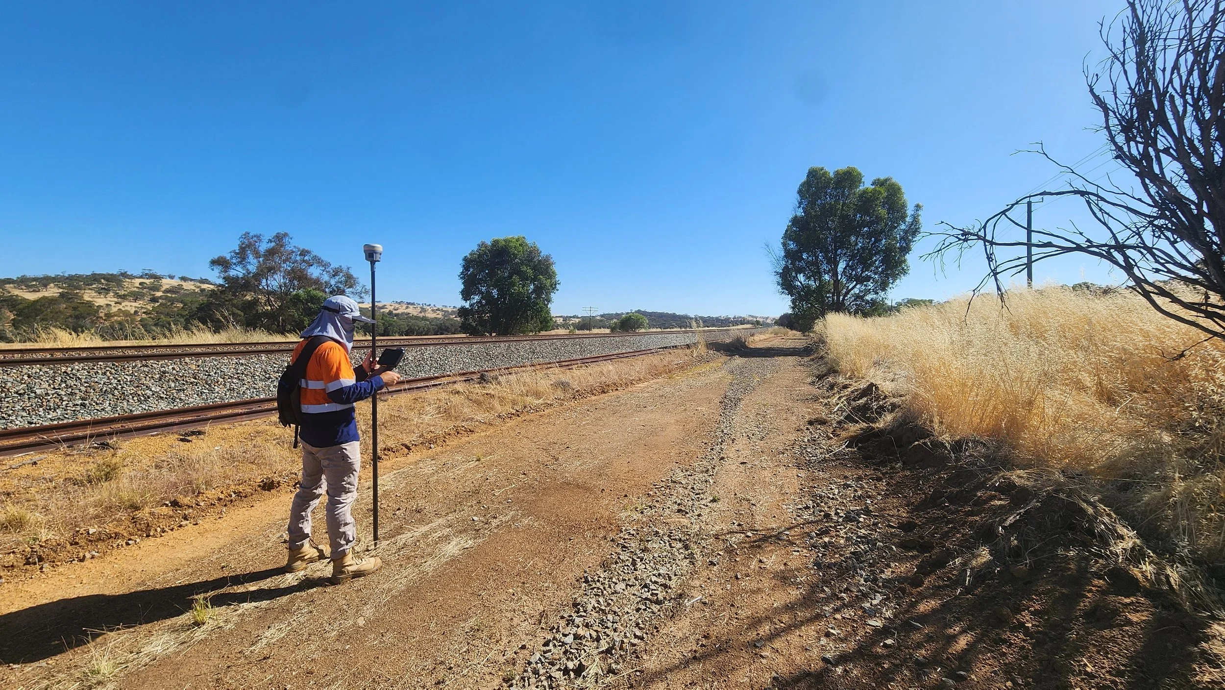
Accurately surveying land, terrain, utilities and vegetation to support informed engineering and construction decisions.
Land & Engineering Surveying
High-resolution 3D scanning captures precise rail corridor data, enabling accurate modelling, clash detection, and informed design decisions.
3D Laser Scanning
Providing geospatial and digital engineering solutions that integrate GIS and CAD to streamline data and support planning, tracking and design.
Digital Engineering & Geospatial
GET IN TOUCH
Get In Touch
Ready to partner with a trusted specialist in rail surveying?
Sanders Rail Surveying (SRS) is a Western Australian company delivering high-precision, end-to-end surveying solutions for rail infrastructure projects, from design and construction through to completion. We combine technical excellence, advanced technology, and industry expertise to deliver accuracy you can rely on.
📞 +61 407 966 313
📧 admin@sandersrailsurveying.com