
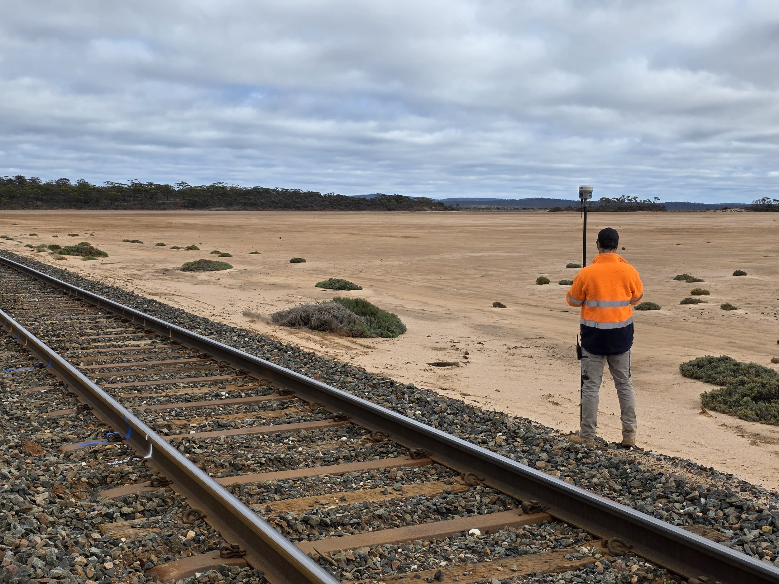
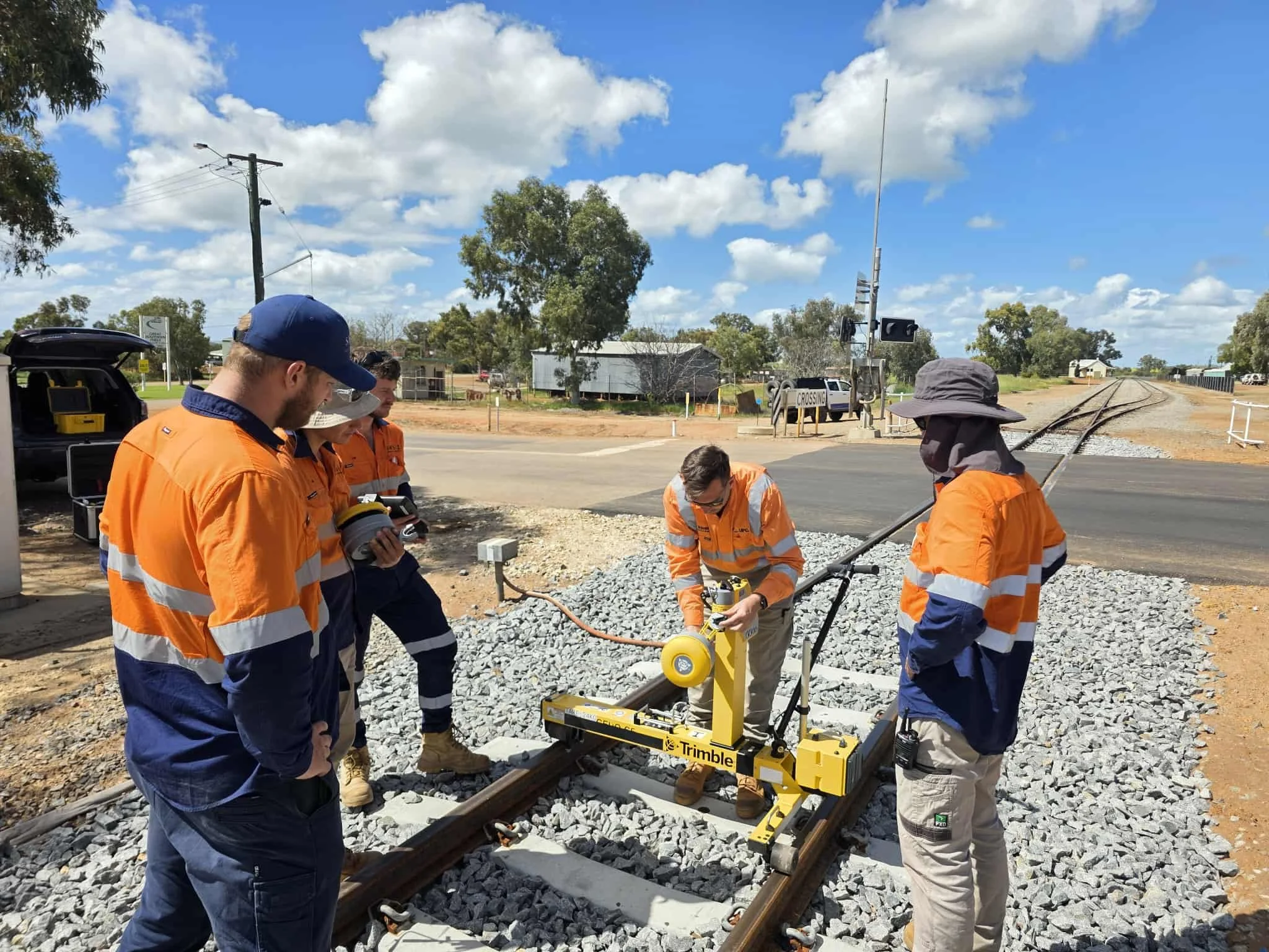
LAND & ENGINEERING SURVEYING
Our land and engineering surveying services include topographic surveys, terrain modelling, utilities and services mapping, and vegetation encroachment assessments.
We provide precise data to support design, construction and compliance by identifying ground conditions, existing infrastructure and environmental constraints.
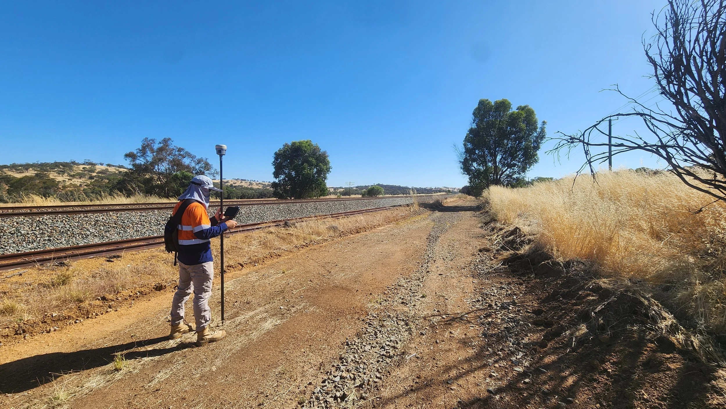
Topographic & Land Surveys
Terrain mapping to support engineering design and construction.
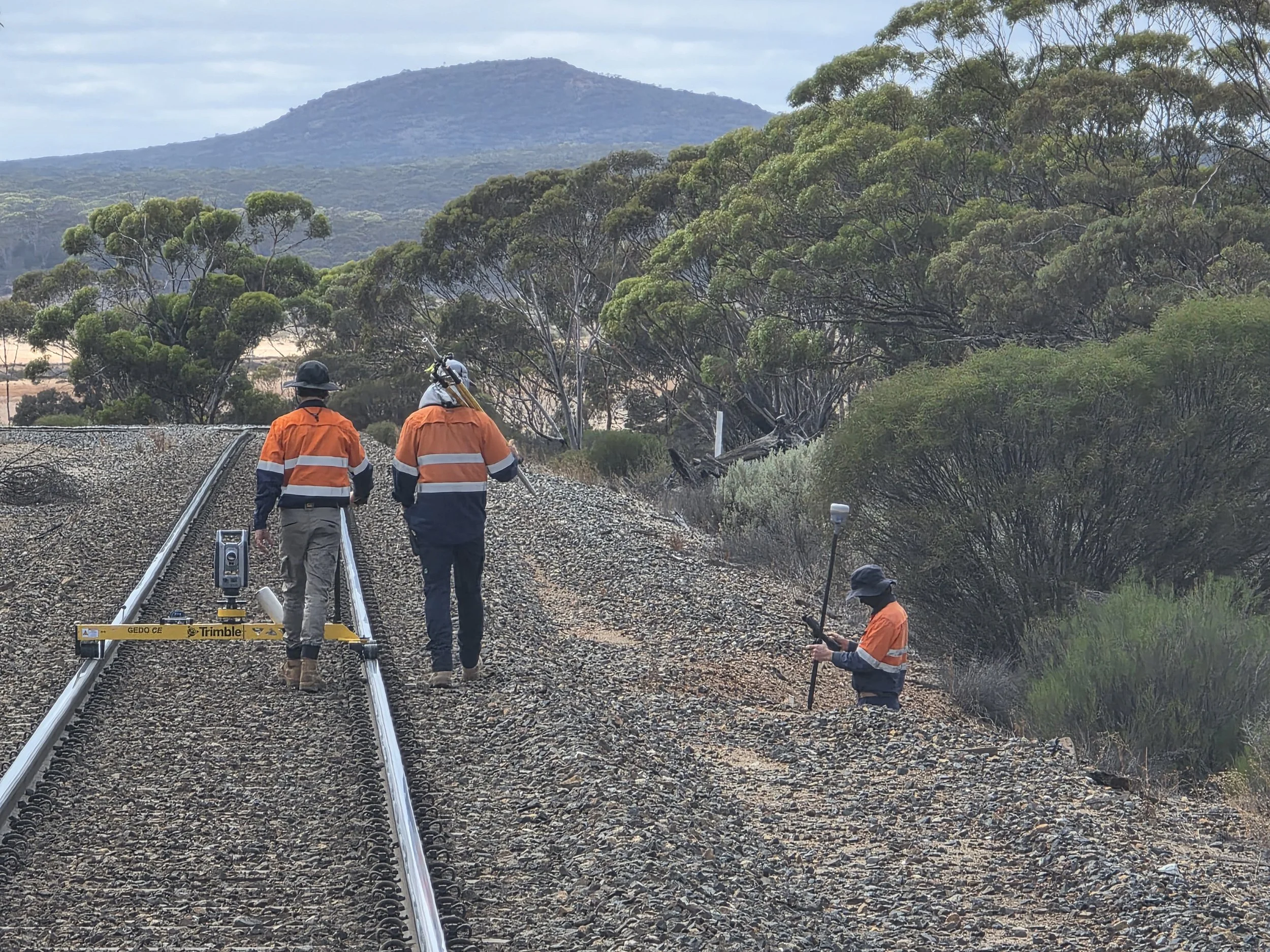
Utilities & Services Mapping
Identification and mapping of above-ground and underground infrastructure.
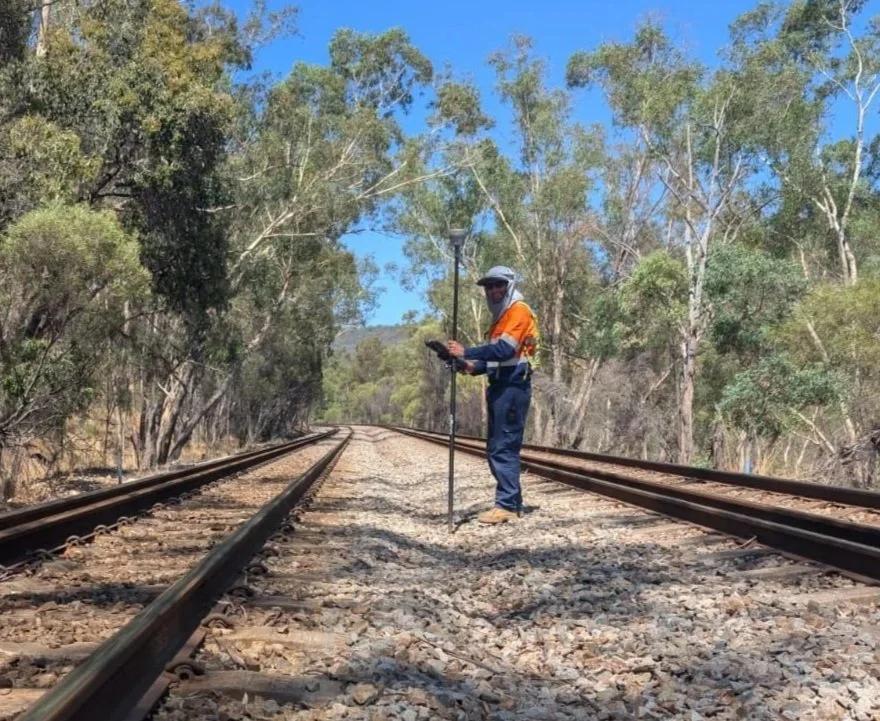
Vegetation & Encroachment Surveys
Mapping of vegetation and encroachments for safety and compliance.
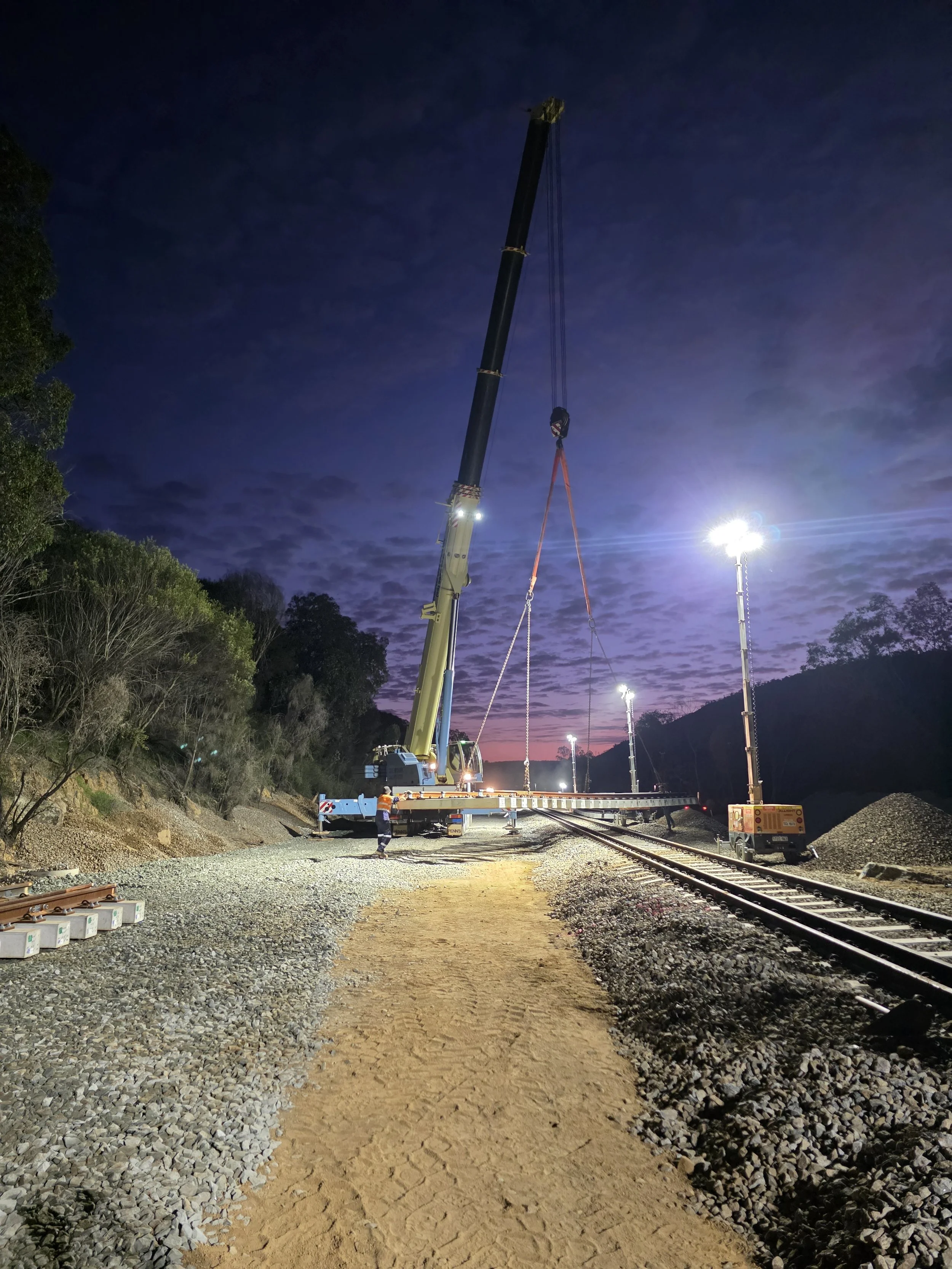
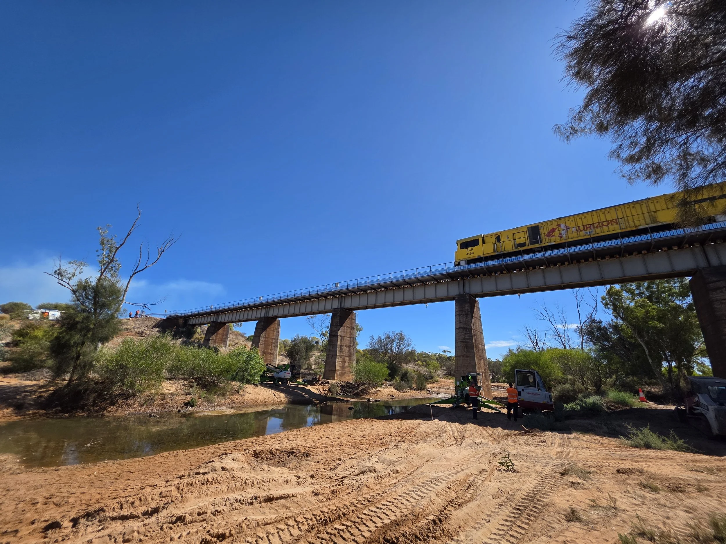
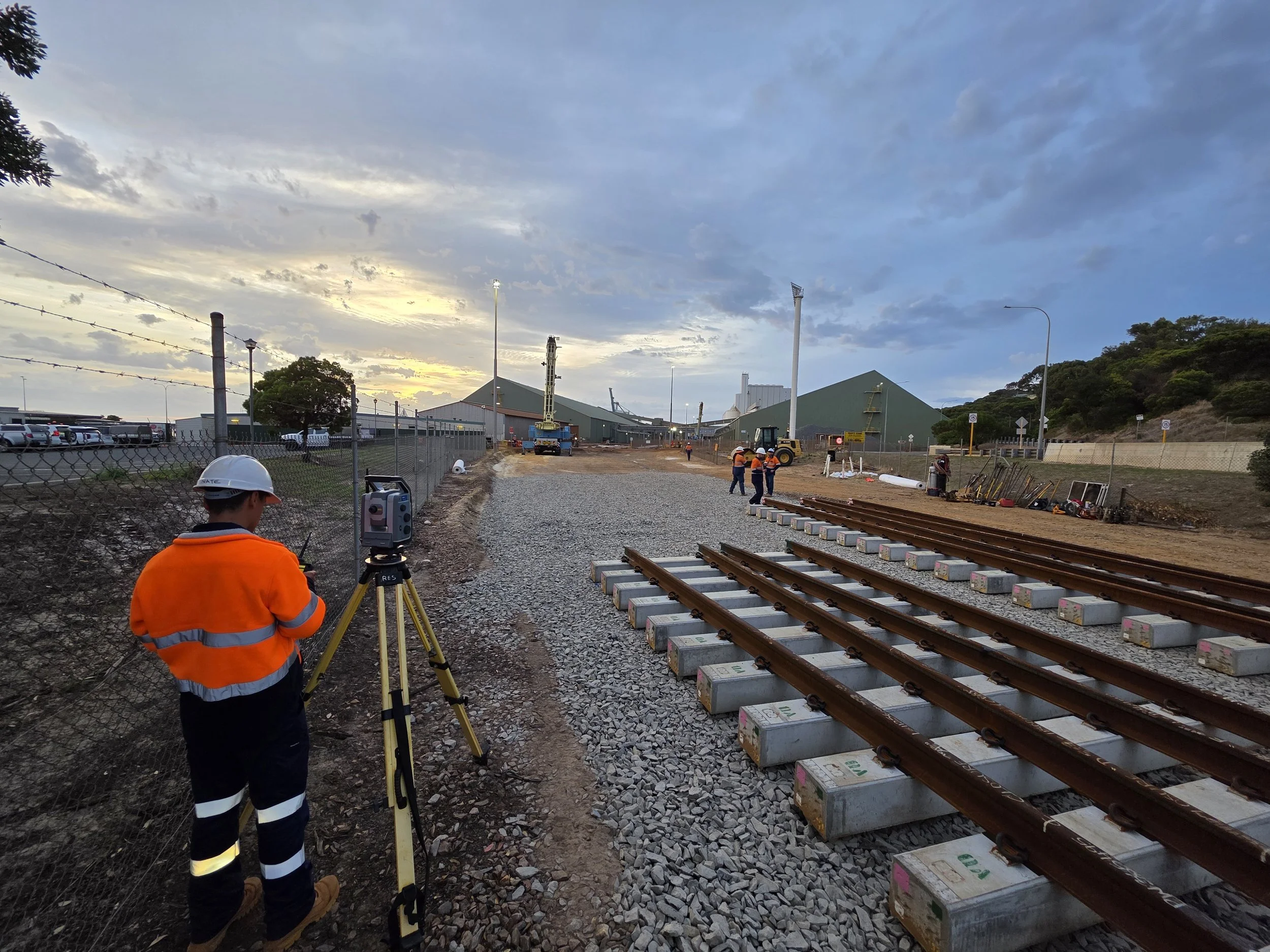
Check out some of our latest projects.

GET IN TOUCH
Get In Touch
Ready to partner with a trusted specialist in rail surveying?
Sanders Rail Surveying (SRS) is a Western Australian company delivering high-precision, end-to-end surveying solutions for rail infrastructure projects, from design and construction through to completion. We combine technical excellence, advanced technology, and industry expertise to deliver accuracy you can rely on.
📞 +61 407 966 313
📧 admin@sandersrailsurveying.com