
DIGITAL ENGINEERING & GEOSPATIAL SOLUTIONS
Delivering integrated GIS and CAD solutions, we manage and process geospatial data to support planning, asset management and engineering design.
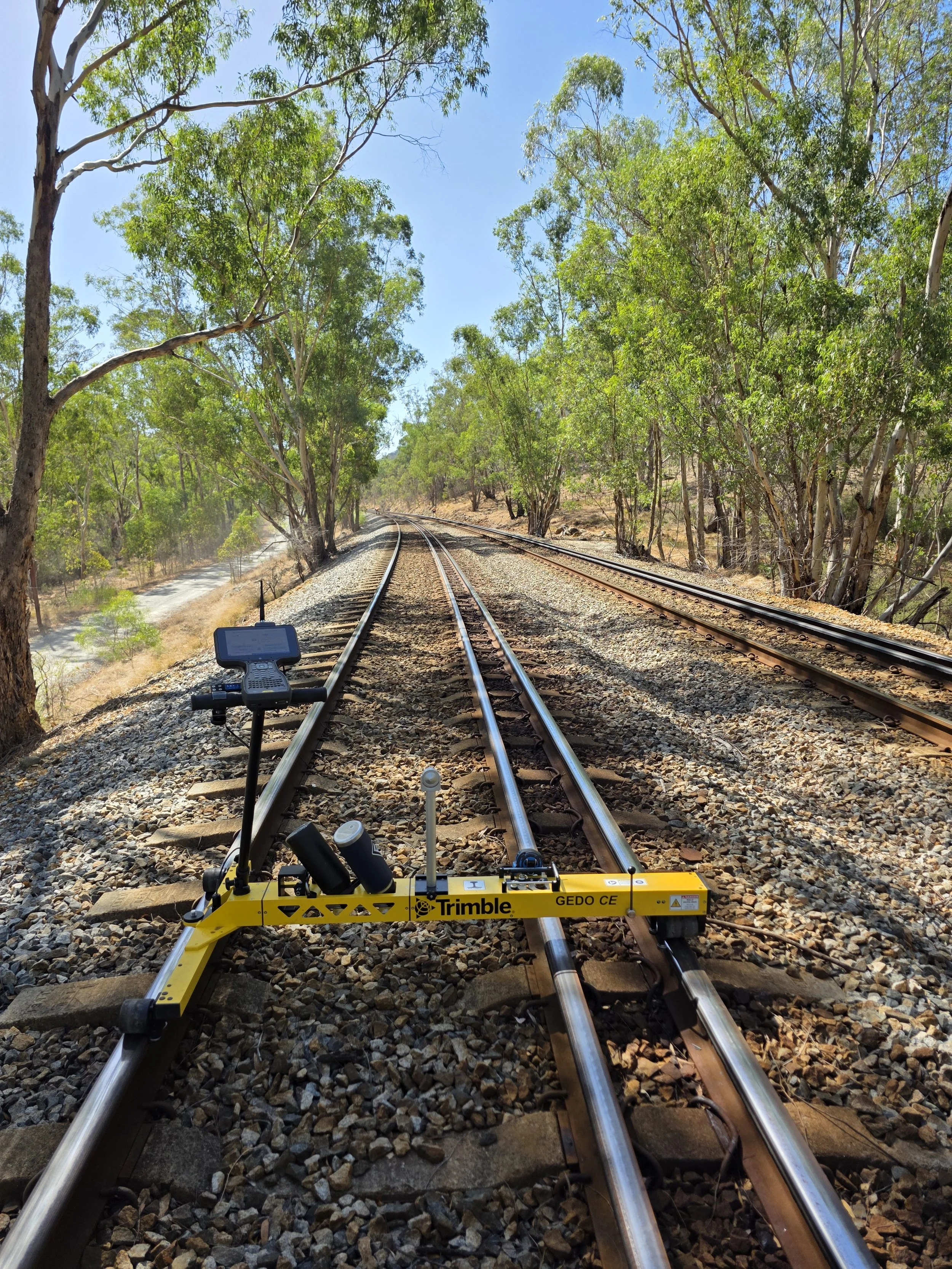
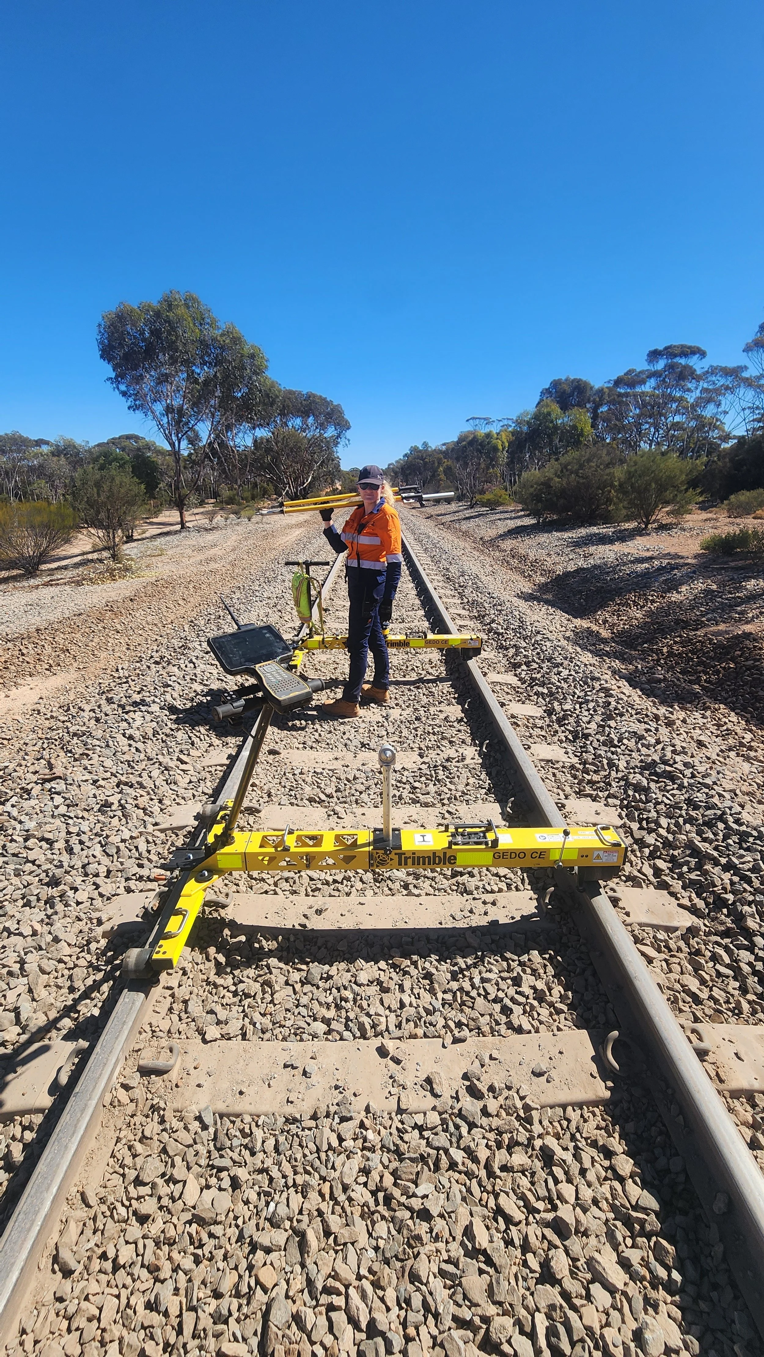
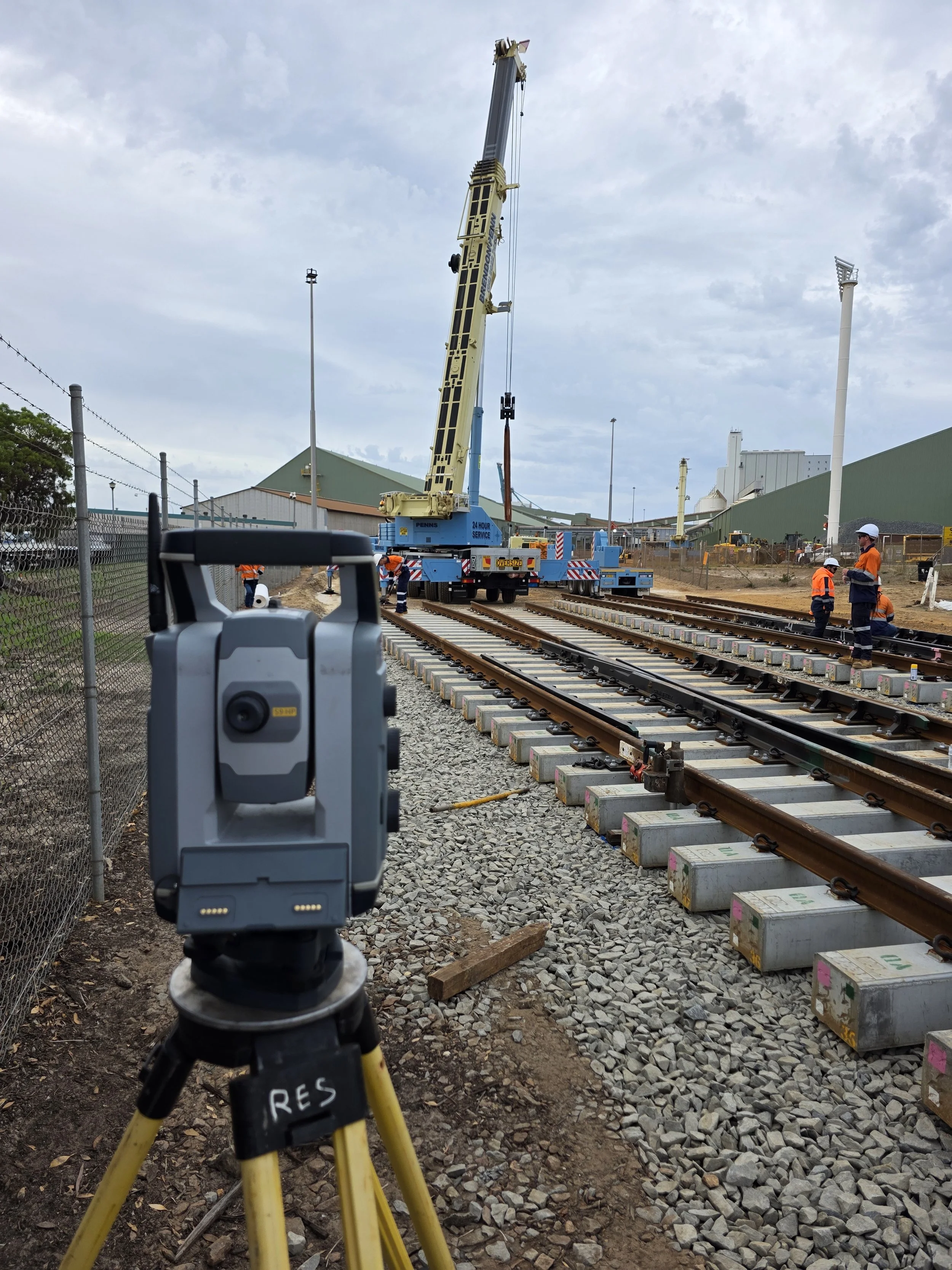
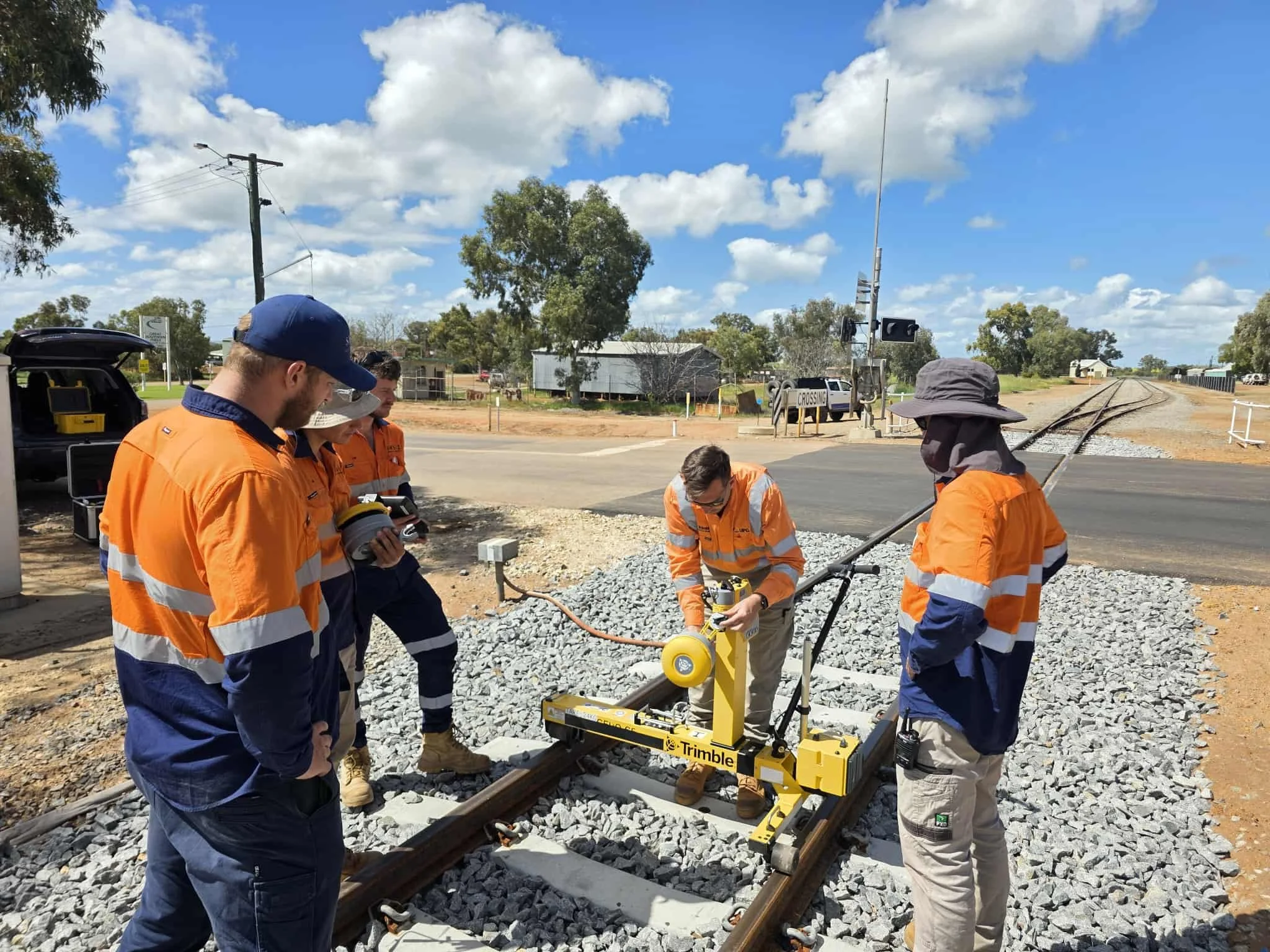
Our workflows enable efficient visualisation and utilisation of survey data across all project stages.
GIS & Data Management Services
Geospatial data solutions for planning, asset tracking, and integration with engineering workflows.
CAD & GIS Software Integration
Efficient processing and visualisation of survey data for design and documentation.
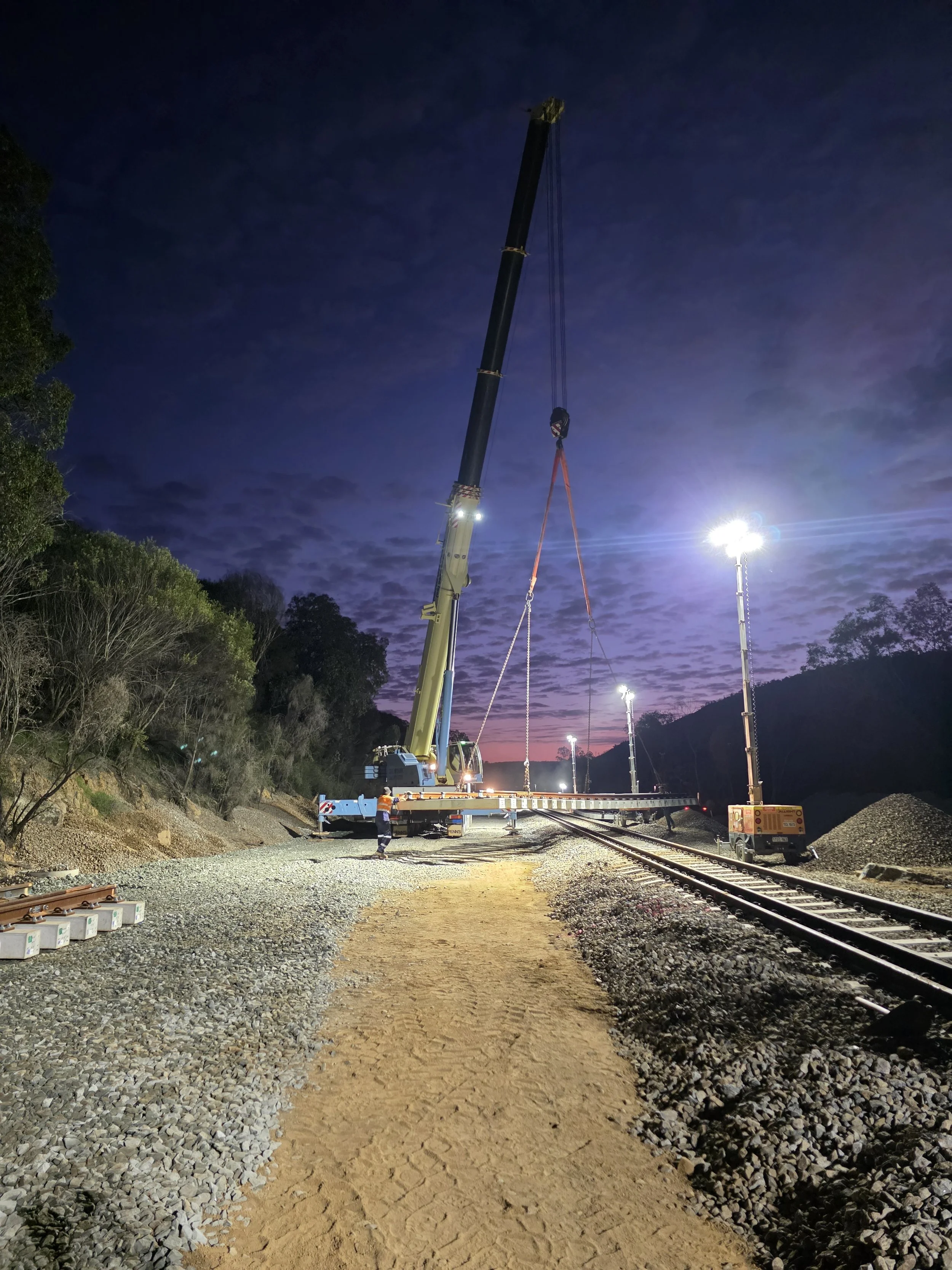
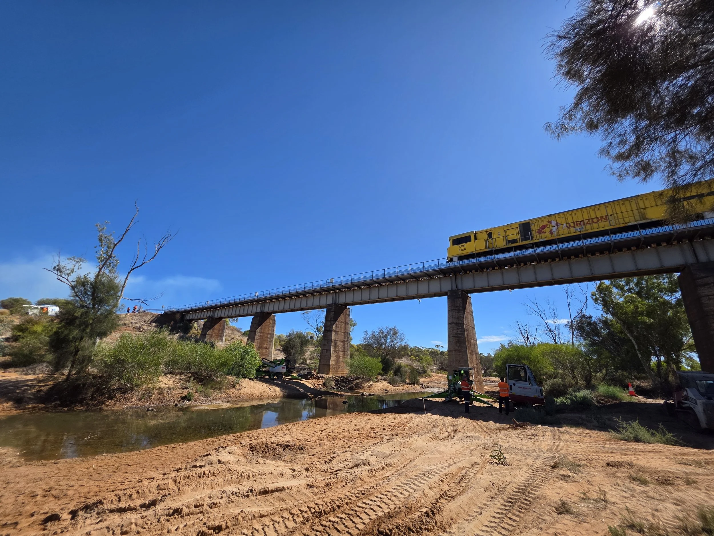
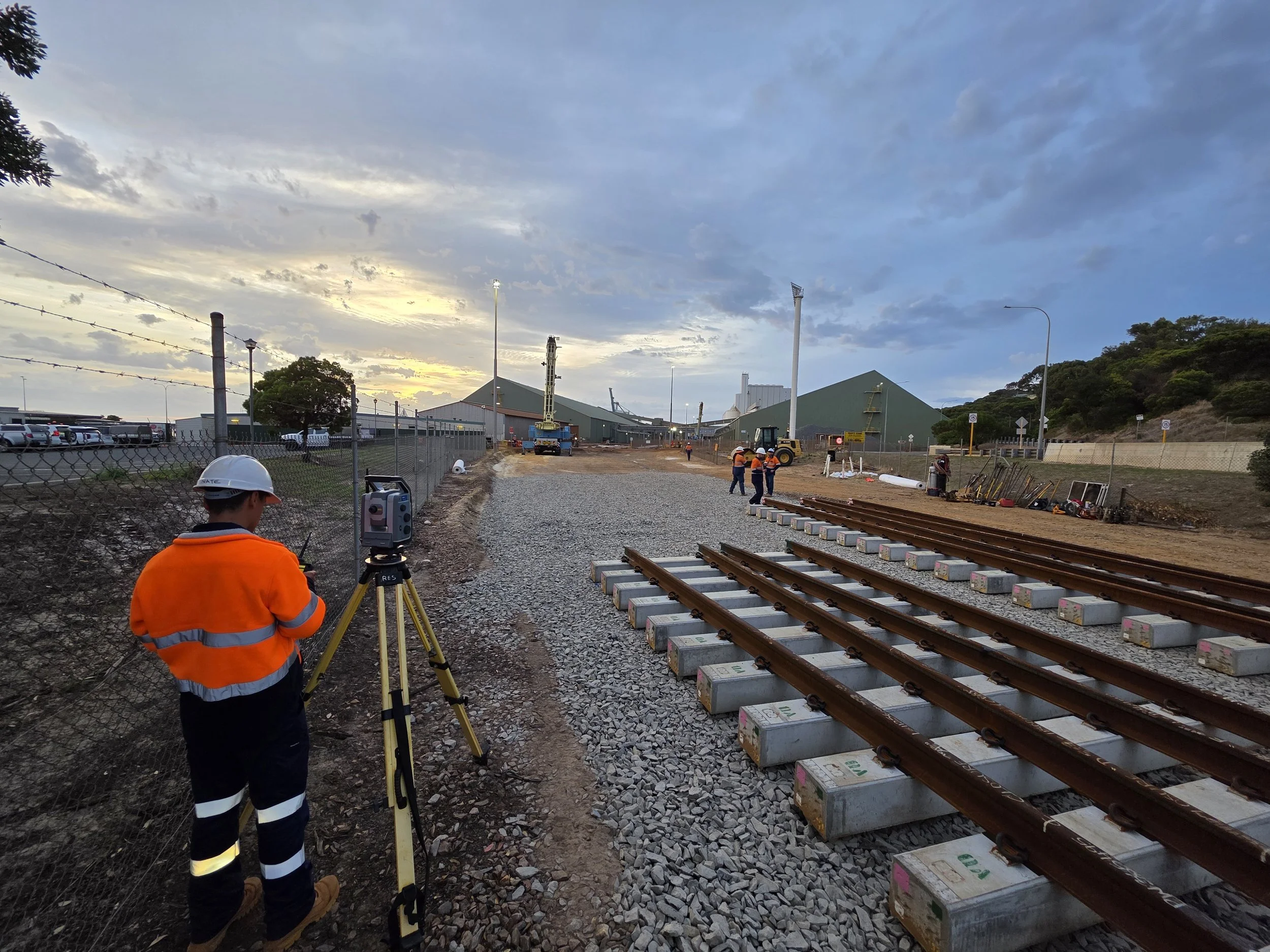
Check out some of our latest projects.

GET IN TOUCH
Get In Touch
Ready to partner with a trusted specialist in rail surveying?
Sanders Rail Surveying (SRS) is a Western Australian company delivering high-precision, end-to-end surveying solutions for rail infrastructure projects, from design and construction through to completion. We combine technical excellence, advanced technology, and industry expertise to deliver accuracy you can rely on.
📞 +61 407 966 313
📧 admin@sandersrailsurveying.com